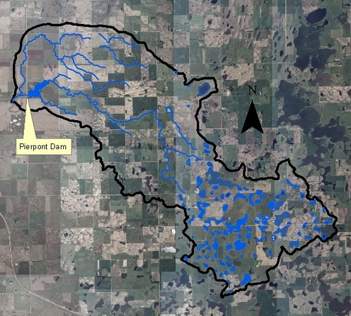
Pierpont Dam and Reservoir is located in northwestern Day County, South Dakota. Land-use in the watershed is mainly cropland.
Pierpont Dam & Reservoir
Maximum Depth: 13 feet
Mean Depth: 8 feet
Lake Volume: 602 acre-ft
Surface Area: 77 acres
Shoreline Length: 2.2 miles
Watershed Acres: 5,885 acres
Major Tributaries: Located on the Mud Creek which flows west to the James River.
Warm Water Permanent Fisheries: northern pike, yellow perch, black bullhead, black crappie, green sunfish and largemouth bass.
For more information on Pierpont Dam, click on the following links:
Watershed Map
SD GF&P Lake Contour Map